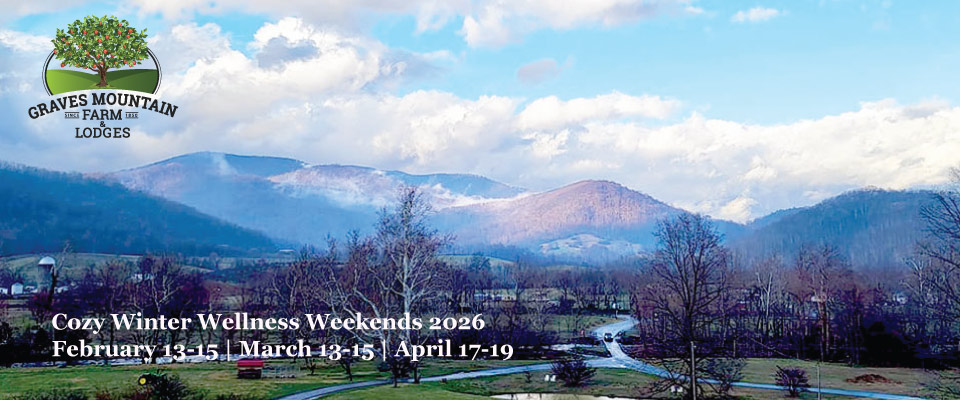
Our Own 18 Miles of Trails
On the Farm we have 18 miles of trails that can connect out to Camp Hoover, Rapidan and then up to Skyline Drive.
- We have gentle strolls out through the orchard, around ponds, along the stream sides, up onto the shoulders of Graves Mountain, and then up to the ridge line.
- Strenuous kickers will take you Doubletop Mountain at 3455 feet, along its shoulders. Steep, challenging footing and a killer workout
- Here are two maps
Map of Nar Farm Area and Trails >
Map of near and far trails >
Hiking the Two Famous SNP Trails
- The Park access fee: $15 pp for a week/
- $30 per car and all people in t for a week.
When parking choose car and MARK your car with your receipt. - Young ones - 15 yrs down are FREE
- Buy on lone if you choose - here
#1
Old Rag Mountain Trails, Up and Down or Circuit.
No dogs allowed on Old Rag Trails.Now, for 2022 and on, the Park requires a day use trail permit for all hikers so as to limit hikers to a reasonable number.
:: Buy tickets for each Old Rag hiker here >
You must take rain gear and extra layers- frequent showers in the summer, food, water, extra layers, and head lamp. - WEATHER CHANGES and you could get into a "white out".
There is no cell access.
There are two ways to do this hike
1) Front Access , scrambling through the boulder slots. This is VERY busy on weekends. It is a 10.5 mile drive from the Campground - going the back way via Etlan to Nethers to trail head.
Trail Details here > The main parking lot is now right by the trail head with the over flow lots back 6/10th of mile. On a weekend, you will be hiking with hundred of others. The circuit is 9.5 miles and will take at least 8 hrs. Half is a 2800 ft vertical climb and descent while half is fire road and not too challenging.
2) Back access -up our back hollow road - Weakley Hollow Rd, which starts by the corner Market. It is 6.6 miles to Berry Hollow Parking area. Limited parking but not much used. DO NOT park on the road shoulder. If needed, drive back to the White Oak Parking lot and walk up. Put park fees in the honor box. For Trail details - see narrative explanation here >. and follow these details in partial reverse You can go up to the top and down - 1780 elevation gain, with not many other hikers. Tough hike but you do not scramble through the rock slots. 6-7 hrs - STRENUOUS. Do do the full loop, scrambling down through the slots - now with the throngs from the front access, then at bottom you will loop back on the Weakley Hollow Fire Rd/Berry Hollow to your car. 9.5 hrs. STRENUOUS, last part of circuit is gentle.
#2
White Oak Canyon Trail
Dog Friendly Trail.
Parking Lot and Trail Head - a 6 mile drive up our back hollow road - Weakley Hollow Rd - that starts at the corner Market-Deli & Tackle. Park in the large parking lot. Put Park Fees in Honor Box. For hike details see here > And here > https://gohikevirginia.com/whiteoak-canyon-trail/
3 miles, 430 ft elevation gain This is not too strenuous, can be a family hike, up by a series of waterfalls.
-
- Our cascading workshop comes down these waterfalls - led by our Shenandoah Mountain Guides Team).
The hike can be STRENUOUS if you choose to hike up to the top of the Ridge.
Warning In winter - black ice build up by waterfalls, means that for safety, you should stay well back from the falls. Black ice can cause a catastrophic tumble. It happens. Please be aware..
Rock Hunting
You may find some interesting unusual stones. This range is considered one of the oldest ranges in the world. Walk along the Rose River an try to find a piece of unakite, the official rock of Madison County. If you can’t find a piece of unakite, there are some for sale in the Gift Shop and in our Packing Shed.
Bird Watching
Eastern Bluebired – In 2010, Old Rag Master Naturalists (ORMN), www.oldragmasternaturalists.org , placed 13 bluebird boxes on the Graves Mountain Lodge property. Most of the boxes are along the Robinson River and adjacent to the two ponds near the Lodge. Trained volunteers are monitoring these boxes throughout bluebird season to gather scientific evidence, such as, how many bluebirds and other native cavity nesters are using the boxes, the number of eggs laid and the number of baby birds that actually fledge. These statistics will be reported to the Virginia Bluebird Society each year. So if you see a bird using the boxes, maybe it will be a bluebird, but it could also be a Carolina chickadee, or a house wren, or a tree swallow or maybe just a house sparrow. Enjoy the birds, but please don’t approach the boxes . . . a family might be nesting just inside!
Bald Eagles – Numerous sighting of the eagles have been reported. As many as 3 have been seen at the same time. In the mornings, they are found flying or perched on the Rose River, in the evenings they have been spotted near our trout pond and Robinson River.
Geocaching
There is one on the Graves Mountain Property and more to come, and several in the surrounding area. If you are not familiar with geocaching, it is like a scavenger hunt with a GPS. For more info visit their website www.geocaching.com.

